Farm Flight – Imagery Simplified
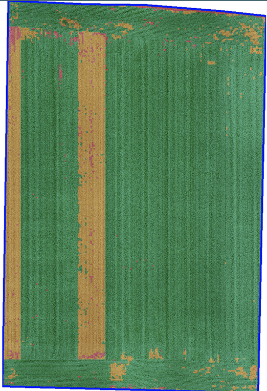
Farm Flight has provided Continuum Ag® with actionable imagery data on some of our client’s fields for the past two years. We are excited to share some of the advantages they provide with you! Farm Flight uses UAV and satellite imagery to provide a wide range of data over several spectral layers including NDVI, RGB […]